Tectonic and volcanic geomorphology
Advances, challenges and future directions in Tectonic Geomorphology
Dr Konstantinos Tsanakas1, Dr Giandomenico Fubelli2, Dr Ettore Valente3, Dr Andy Howell4,5
1Harokopio University of Athens, Athens, Greece, 2University of Turin, Torino, Italy, 3University of Naples Federico II, Napoli, Italy, 4University of Canterbury, Christchurch, New Zealand, 5GNS Science, Lower Hutt, New Zealand
Tectonic geomorphology lies at the intersection of solid-earth science and surface processes, offering vital insights into how Earth's landscapes evolve in response to tectonic forcing. This session will explore cutting-edge research on the interactions between tectonics and geomorphic processes, as well as the tectonic mechanisms that drive landscape change. We invite contributions from across the field of tectonic geomorphology and across temporal and spatial scales — from the evolution of entire mountain ranges to the behaviour of individual faults and catchments.
Key themes include the quantification of erosion and uplift rates, the influence of tectonic processes on drainage network or coastal evolution, and methods for dating tectonic surfaces. We are also interested in multidisciplinary approaches that incorporate remote sensing, geochronology, and numerical modelling to understand tectonically active regions. This session will consider a range of subfields from field observations through to innovative modelling techniques, to provide a comprehensive overview of the role of tectonics in shaping the Earth’s surface.
Researchers from a range of disciplines, including but not limited to geomorphology, tectonics, seismology, sedimentology, geochronology, are encouraged to present their work. This session — convened by the IAG and AlGEO Tectonic Geomorphology Working Groups — will provide a platform for discussing advances, challenges, and future directions in tectonic geomorphology.
Applications of Tectonic Geomorphology in Engineering and Geohazards Assessments in Diverse Settings
Mark Quigley1
1University of Melbourne, Brunswick East, Australia
Tectonic geomorphology may be used to investigate landscape features, processes, and rates in many applications in engineering and the geosciences. We seek contributions detailing the use of tectonic geomorphology in landscape and geohazards investigations from urban and remote settings in plate boundary and intraplate continental environments. Examples could include (i) use of tectonic geomorphology for hazard characterisations near critical infrastructure facilities (e.g., dams, power stations and networks, lifelines), (ii) use of tectonic geomorphology for site-based hazard characterisations (e.g., evaluating sites for nuclear waste storage or other future infrastructure), (iii) use of tectonic geomorphology in land use planning, engineering design, risk assessments, and other decision-making and policy-informing situations.
Dynamic Landscapes: Tectonic Geomorphology of Aotearoa New Zealand
Dr Phaedra Upton1, Associate Professor Alison Duvall2, Dr Katie Jones1
1GNS Science, Lower Hutt, New Zealand, 2University of Washington, Seattle, United States of America
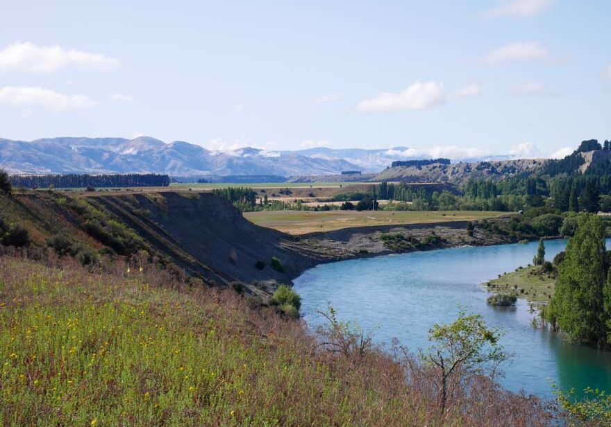
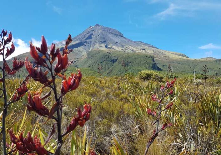
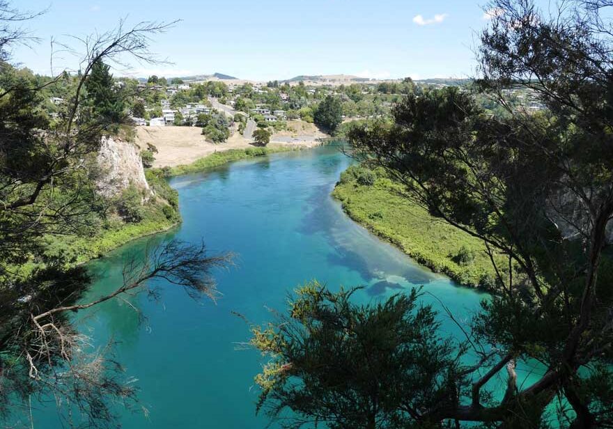
The combination of Aotearoa New Zealand’s active tectonic plate boundaries, fast rising mountains and vigorous erosion, has for more than a century provided fertile research grounds for the global geomorphology community. The form and dynamics of Aotearoa New Zealand’s incredible landscapes and seascapes reflect the complex and ongoing tectonic activity, the type and character of its underlying rocks, and the regional climate, ecology and biota. Over the past several decades, increasingly quantitative analyses of geomorphic processes and Aotearoa’s evolving landscapes have led to new advances in understanding both regional and global surface and lithospheric processes from the scale of individual rivers and catchments to entire plate boundaries. Such studies have implications for natural hazards, interpreting sedimentary archives, and modelling global geochemical cycles. This session focuses on the understanding, interpretation and measurement of Aotearoa New Zealand’s tectonically active landscapes. We welcome submissions concerning both modern and ancient tectonic geomorphology, as well as studies that emphasise developments in geochronology, numerical methods, and remote sensing. We particularly encourage contributions that span multiple spatial and/or temporal scales and use multiple lines of independent evidence to reach new conclusions.
Tectonic Geomorphology for Mountainous Terrain
Professor Devesh Walia1
1North-Eastern Hill University, Shillong India, Shillong, India
Tectonic mountain ranges are identified using geomorphological features using satellite imageries and topographical studies. Tectonic geomorphology is pertinent to recognise the recent tectonic activity within a watershed in the mountainous terrains. The tectonically active region are demarcated, and are helpful in identifying the seismically active zones and hence the impending seismicity and disaster risks. Various tectonic-geomorphic features and their study is of importance specifically in the mountains, and should be integrated with development plans to build safer and secure cities in the mountainous terrains.


